Forest Service Road 47A (FS47A)

The FS47A Trailhead can be found just across the bridge up FS47A from where it meets FS47.
Description:
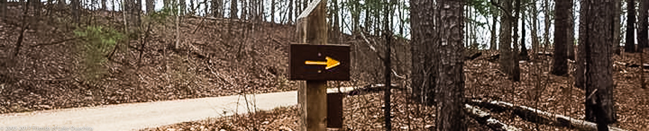
The Hickory Nut Mountain Trail segment drops sharply down off Hickory Nut Mountain to a takeout at Forest Service Rd. (FS) 47A, a short road that turns north off FS47. A fabulous trail coming down, Hickory Nut is very strenuous going back, and often hikers choose to park a pick-up vehicle at the bottom of the trail; the FS47A trailhead is primarily used for this purpose. The FS47A trail segment itself is really a connector section of 2.2 miles of some scenic interest, and it gets you to the Pipe Spring trailhead where the hike gets more interesting.
This short trail segment crisscrosses FS47 as it moves east to Pipe Spring on a trail that is easy with a few low hills. The trail entrances off FS47 are not always easy to see and, if you choose, you can just walk 1.9 miles east down FS47 to Pipe Spring. Watch for traffic.
Surrounding Area:
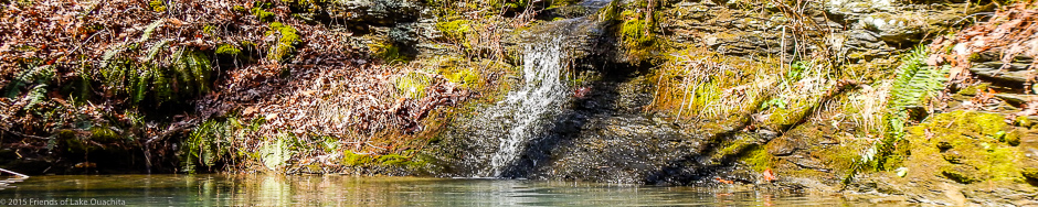
There are two very scenic locations along this section, one overlooking a deep valley to the south, and another overlooking a hidden bay of Lake Ouachita to the north.
Length:
2.2 miles (1.9 miles if you just follow FS47 east) to the Pipe Spring trailhead.
Difficulty:
The FS47A/FS47 trail segment is easy to light moderate.
Amenities:
The nearest restroom facility is at the top of Hickory Nut Mountain and the nearest water is at the pipe spring at the Pipe Spring trailhead.
Directions to Trailhead:
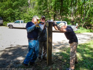
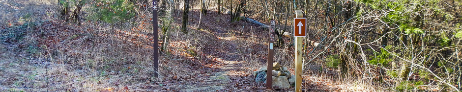
Traildogs installing a new directional sign at the junction of FS47 and FS47A (34°32’41” N 93°23’20” W) in 2014.
Go east from Mount Ida about 13 miles, or west from Hot Springs about 21 miles (a mile or so west of the border separating Montgomery and Garland counties), to Hickory Nut Mountain Road. Turn north (your only option) onto Hickory Nut Mountain Road for 9/10s of a mile. Turn right onto FS47 (also called “Walnut Fork Rd”, or, incorrectly on Google maps as “Hickorynut Mountain Rd”) and go 2.4 miles to the intersection of FS47 and FS 47A on your left (34°32’41” N, 93°23’20” W). See the iron post on the left with “47A” printed on it, and proceed through the gate. Go 2/10s of a mile to a low water bridge (see picture above) and park just across the bridge. If you are leaving FS47A/FS47 to go east to Pipe Spring, then backtrack across the bridge to FS47 and look for the trail entrance(s) east of the FS47/FS47A junction.
If your intent is to climb Hickory Nut Mountain back to the Hickory Nut Mountain trailhead, then follow FS47A about 400 feet north across the low-water bridge, where you will see the Hickory Nut Mountain trail entrance on the left. The trailhead is marked but is without a trail map.
If perchance the entrance gate is closed you can park at the gate and walk on in on FS47A to pick up the Hickory Nut Mountain trail segment. Or you can hike east on down FS47 toward the Pipe Spring trailhead.
GPS coordinates of road FS47A just beyond the low water bridge: 34° 32′ 51.9″ N x 93° 23′ 19.7″ W.
Accommodations:
The trailhead does not accommodate camping.